Meet our Graduate Students
PhD Students
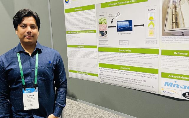
Adnan Mohammad Adnan
adnan.aftab@uleth.ca
Supervisor(s): Byrne, James & Hazendonk, Paul
Thesis: Harnessing renewable energy resources in southern Alberta: A Homer Pro and GIS approach to energy and agriculture
Bio: This project explores the integration of renewable energy sources within the agricultural sector of Southern Alberta, utilizing advanced modelling tools like HOMER Pro and Geographic Information Systems (GIS). The aim is to identify optimal strategies for deploying renewable energy technologies—such as solar and wind and Battery Energy Storage System—to enhance sustainability and economic viability in farming practices.
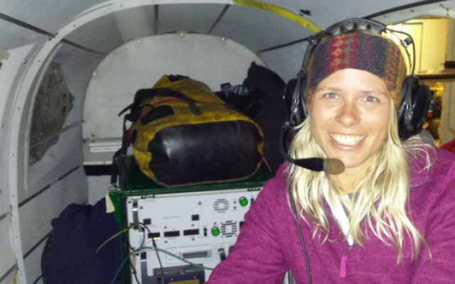
Linda Flade
linda.flade@uleth.ca
Supervisor(s): Laura Chasmer & Hopkinson, Christopher
Thesis: Ecosystem change in a permafrost environment due to thaw and wildlife disturbance
Bio: Northern ecosystems are changing rapidly due to a combination of climate-mediated permafrost thaw and fire disturbance. Linda is using a combination of field measurements and remote sensing data to quantify rates of change vegetation biomass and structure in burned and unburned peatlands and transitional areas between peatlands and forests. Using these methods, Linda is developing new tools to identify the environmental characteristics that are causing ecosystems to transition and is relating what she has found to long time-series optical remotely sensed data.
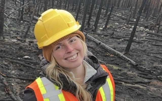
Emily Jones
Supervisor(s): Chasmer, Laura & Hopkinson, Christopher
Thesis: Understanding the impacts of climate change on fire fuels in montane and boreal environments within western Canada using combined remote sensing and field approaches
Bio: Ecosystems in western Canada are disproportionately responsive to shifts in climatic conditions, making them increasingly impacted by severe fire weather and behavior conditions. This, in addition to shifting forest fuel types and arrangements, have made fire behavior increasingly difficult to predict and manage. Emily is studying how fire fuels are changing in response to climate change in a north-south latitudinal gradient in both montane and boreal ecosystems. Emily uses combined remote sensing techniques, such as airborne and RPAS-based lidar, and field measurements to examine not only where changes are occurring, but also how fuels have changed over time.
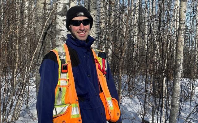
Joseph Silva
Supervisor(s): Chasmer, Laura
Thesis: Landscape regulation of wildfires in northern Saskatchewan: Implications for forest ecosystems
Bio: Fire regimes in the boreal region of western Canada are becoming more extreme due to climate change. An increased frequency and severity of fire could overcome the resilience of boreal tree species and cause changes in forest structure and composition, resulting in wide-ranging implications for ecosystem processes, wildlife, and local Indigenous communities. Joe is using a combination of field data and remote sensing technologies to study the drivers and consequences of fire frequency and severity on tree regeneration in northern Saskatchewan. This information will be used to work with local fire managers and Indigenous communities to identify land management strategies that improve forest resilience in a future with more fire.
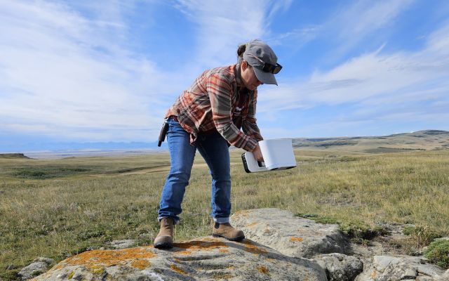
Tammi Mills
Supervisor(s): Coburn, Craig
Thesis: Advancing Archaeological Science: Thermal Imaging, Multispectral Analysis, and Digital Preservation
Bio: Remote Sensing as a science can bring various tools for archaeological research and archaeological site preservation. Tammi uses thermal and multispectral imagery obtained with a remotely piloted aircraft system (RPAS) to detect archaeological features. Using a test site built on the University of Lethbridge grounds, thermal and multispectral remote sensing was employed to detect both surface and subsurface stone features. Thermal gradients and changes over time were used to determine the optimal flying heights and time of day for detection while multispectral data is used to show changes in vegetation growth where archaeological features are present. Additionally, Tammi is developing digital twins of archaeological sites to digitally preserve them for public presentation and change detection over time.
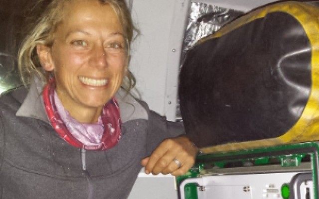
Kailyn Nelson
Supervisor(s): Chasmer, Laura
Bio: Boreal peatlands provide an important, long-term store of carbon within their organic soils, however, increased drying from climate changes, especially in western Canada can predispose these to increasingly severe fire. Kailyn is using a combination of time series (pre- and post-fire) lidar data and field measurements to quantify spatial variations in depth of burn and C losses from boreal peat fires. The innovative methods that Kailyn is developing will provide more detailed information on how much C is lost from peatlands due to wildland fire compared with operational C loss models, in partnership with Canadian Forest Service.
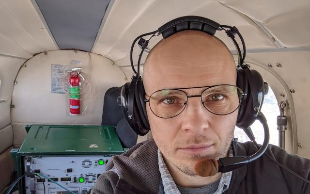
Maxim Okhrimenko
Supervisor(s): Hopkinson, Christopher
Thesis: Toward development of scalable 3D spatial techniques for lidar point cloud modeling of boreal forest biomass attributes.
Bio: Maxim is fascinated by the richness of spatial information available through Airborne Laser Scanning (ALS). Drawing on his background in applied mathematics, he refines methods for extracting forest inventory attributes from ALS point clouds in the Canadian boreal forest.
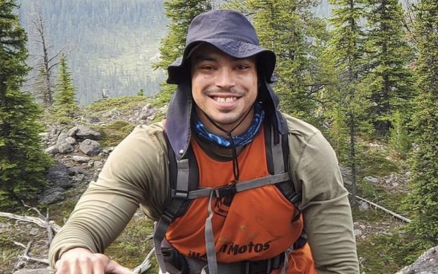
Italo Sampaio Rodrigues
Supervisor(s): Hopkinson, Christopher
Thesis: Evaluating wetland extent trends using remote sensing: case studies in the Canadian Rockies
Bio: The present and future sustainability of historical mountainous wetland ecosystem services is under threat from climate change impacts on regional river flow and runoff regimes. Italo is using a combination of remote sensing data (LiDAR, Sentinel 2, UAV, and Landsat imagery archive), and field observations (drone-based observation of vegetation community, water surface extents, and river discharge) to quantify historical trends and changes, to project future trends and changes, and to analyze the spatio-temporal wetland trends in the Upper Columbia floodplain (British Columbia), and to expand the methods for the Eastern slopes of Alberta. The framework developed over the case study areas will be a prototype wetland vulnerability assessment tool that has potential to be applied in other environments to evaluate climate change impacts on wetland ecosystem extent and water resources.
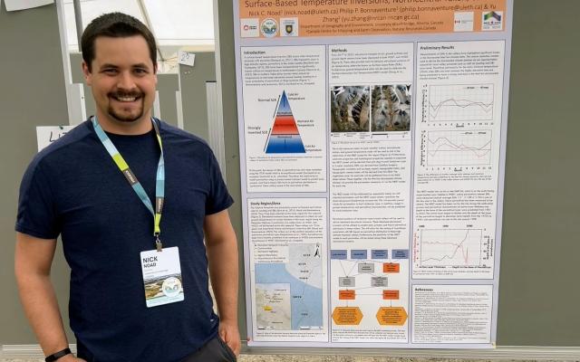
Nicholas Noad
Supervisor(s): Bonnaventure, Philip
Thesis: The Relationship Between Surface-Based Temperature Inversions, Transient Permafrost Modelling, and Downscaled Climate Data in Mountainous Terrain of Northcentral Yukon.
Bio: In my undergraduate degree, I developed a deep interest in understanding earth’s systems and how they interact. More specifically, I have an interest in understanding processes associated with weather and climate. During my MSc Degree I explored how surface-based temperature inversions influence patterns of permafrost in high-latitude mountain valleys of Yukon where they frequently occur. I found that my research led me to have more questions than answers, so I decided to pursue a PhD degree here at the University of Lethbridge to address some of those questions. Since beginning my PhD degree, I have found myself wanting to increase my understanding of the strengths and weaknesses of downscaled climate reanalysis data in high-latitude regions and how surface-based temperature inversions factor into these. My favorite part of this research is seeing the beautiful landscapes of Yukon while hiking to the tops of mountains to collect data. Ultimately the purpose of my research is to improve the accuracy of permafrost modelling in high-latitude mountains by understanding meteorological and climatological processes occurring there.
Piratheepa Jegatheeswaran
MA Students
Alyssa No Runner
Ali Seyed Norani
Tatiana Craft
Supervisor(s): Holyoke, Kenneth
Thesis: Settlement Patterns and Lithic Distribution: A History of Alberta’s Boreal Forest
Bio: Few research-based archaeological projects have been conducted within Alberta’s Boreal Forest, this contrasts with cultural resource management archaeology in the wake of resource extraction. Tatiana is employing GIS-based tools to analyze patterns of stone tool distribution between archaeological sites. By utilizing collections-based research, Tatiana will contribute to archaeological scholarship pertaining to the history of pre-contact peoples of Alberta’s Boreal Forest.
Hannah Wilson
Supervisor(s): Young, Julie
Thesis: Artifacts of Migration: Examining the Impacts of Canada's Border Policies on a Border Community
Bio: Border policies, such as the Canada-US Safe Third Country Agreement (STCA), led to an unusual geography of asylum seeking at the shared border because it prevented migrants from attempting to cross at official ports of entry and pushed them to cross at unofficial crossings, like Roxham Road, between Quebec and New York State. My project aims to better understand how border policies affect the operation and appearance of these migration journeys. Some contributions include a deeper understanding of the lived experiences of migrants who encounter the STCA during their journey, as well as what the materiality associated with the border and migration journeys can tell us about the impacts of border policies, where people encounter the border, and how they navigate it.
Clara Khosravizad
MSc Students
Matthew Sawchuck
Supervisor(s): Bubel, Shawn
Thesis: Pulling apart the Pile: Analyzing the Chronology and Zooarchaeology of Head-Smashed-In Buffalo Jump
Bio: Bison were a critical part of Indigenous lifeways on the Great Plains for thousands of years. Head-Smashed-In Buffalo Jump (HSIBJ) is the oldest, longest used, and best Bison hunting site on the plains. This project reanalyzes the original field notes from the early excavations at HSIBJ and uses new radiocarbon dates and more recent evidence to show that the site was used even more than originally thought. In addition, the bones recovered from the site are analyzed to see if an extinct taxon of Bison was hunted during the first uses of the site.
Jo Vos

Emily Carroll
Supervisor(s): McMartin, Dena & O'Sullivan, Gwen
Thesis: In-vitro hazard characterization of occupational dermal exposure and uptake of contaminants of concern known to exist within aircraft cabins
Bio: Exposure to chemical contaminants inside aircraft cabins has been linked to adverse health outcomes, particularly among flight crew who face chronic exposure. Emily’s research investigates, for the first time, the potential role of dermal exposure in contributing to internalized doses and health consequences observed in flight crew. Using the Franz Diffusion Cell Apparatus and Strat-M® artificial membranes to simulate human skin, she quantifies the percutaneous absorption of relevant chemical concentrations and mixtures. Her work seeks to advance our understanding of the risks associated with dermal exposure to contaminants, aiming to inform safer occupational standards and guidelines across aviation and other occupational environments.
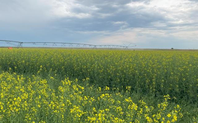
Renee Huvenaars
Supervisor(s): Johnson, Dan
Thesis: Targeted Irrigation for Hybrid Canola Seed Production under Water Deficit
Bio: Limits on certain irrigation districts in southern Alberta threaten the production of hybrid canola seed in Canada. Renee is conducting a small plot agricultural field trial to examine the effect of growth stage-based deficit irrigation on yield and quality of hybrid canola seed production. Growth stage-based irrigation has proven effective in commercial canola and other crops to best maintain crop yields in conditions of water deficit. This research can be used to develop further irrigation management trials to determine a common standard of practice for hybrid canola seed production.
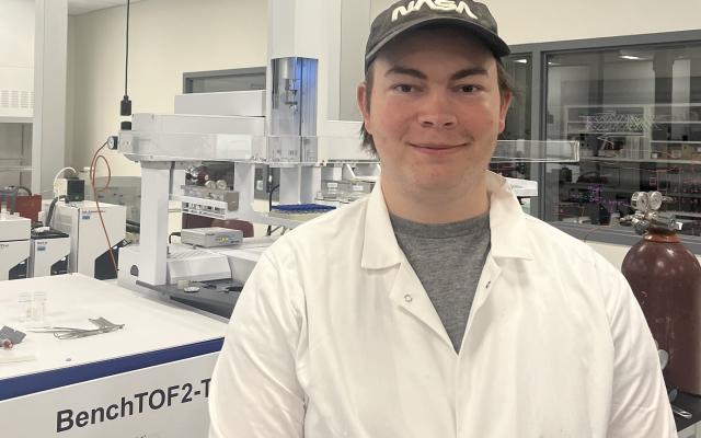
Caleb Marx
Supervisor(s): McMartin, Dena & O'Sullivan, Gwen
Thesis: Laboratory Investigation of Smoke Emissions from Urban Fuels
Bio: Every year, structural fires in Canada cause billions of dollars in damage, as well as the loss of loved ones and irreplicable heirlooms. Caleb is validating the use of both standard and novel air quality sampling tools to investigate the smoke profile of urban fuels. The developed method will be deployed in bench-scale burn experiments, aiming to create a targeted list of organic compounds from common structural fuels. Through his research, Caleb seeks to improve our understanding of the risks associated with smoke inhalation, especially in post-fire environments.
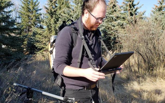
Sean Herridge-Berry
Supervisor(s): Peddle, Derek
Thesis: Detecting Potential Dinosaur Fossil Sites Using Remote Sensing in Dinosaur Provincial Park, Alberta, Canada
Bio: Identifying fossil sites in rapidly changing environments requires significant time and effort from personnel in the field. Using remote sensing, we can analyse large areas with consistency and in less time using high resolution imagery to discover potential new sites, and we can monitor change. Through a partnership between the University of Lethbridge and The Royal Tyrrell Museum of Palaeontology, these new approaches are being tested at Dinosaur Provincial Park, a UNESCO World Heritage Site. Freshly revealed surface materials through erosion of Dinosaur Park Formation sediments are detected by remote sensing and validated in the field. Being able to detect small targets like exposed fossilized bone and Xanthoria lichens on the surface provides evidence of potential discoveries hidden underground and shows that remote sensing can be a valuable tool to help guide established field methods across large areas.
Danika King
Nathan Provost
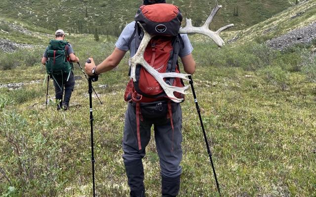
Mitchell Codd
Supervisor(s): Bonnaventure, Philip
Thesis: Exploring the Impacts of Meteorological Extremes on Surface-Based Inversions and the Influence on Permafrost Distribution in Northwestern Canada.
Bio: Not only am I endlessly curious in weather and how it interacts with our planet, but I also have a penchant for pain and thus, a master's thesis was the natural path. Throughout my degree, I will focus on surface-based inversions (SBI) in high-latitude mountain valleys along the Dempster Highway in Northwestern Yukon, Canada. The main objective of my research is to investigate the causes of SBIs in these environments, how synoptic systems factor in, and analyze how a warming climate might affect extreme cold conditions, potentially decreasing SBIs and affecting permafrost distribution.
Zeeshan Hamayun

Taylor Mitchener
Supervisor(s): Chasmer, Laura
Thesis: Vulnerability and carbon loss from northern Alberta peatlands due to high-intensity wildland fires
Bio: Peatlands provide critical ecosystem services yet are among some of the most threatened ecosystems globally due to both anthropogenic disturbances and fire. Northern Alberta has extensive boreal peatlands, characterized as bogs and fens with more than 40cm of peat. Wildland fires play a key role in resetting ecosystems (Nelson et al., 2021), resulting in a transformed landscape with altered vegetation structure, hydrology and nutrient cycles. In Canada, wildland fires have intensified resulting in increased frequency and area burned, as demonstrated by the unprecedented 2023 wildfire season. Peatlands are drying due to climatic changes and as a result are burning more frequently, especially within the peat soils, leading to higher carbon emissions. There is a knowledge gap in understanding the quantity of carbon released from peatlands due to fire. Taylor will analyze lidar data from burned and unburned forested to open peatlands in northern Alberta including Lutose, Fort McMurray, and Tomahawk areas. Taylor will answer the following questions, with the knowledge that Lutose consists of sporadic permafrost, Fort McMurray contains interconnected wetlands, and Tomahawk contains drier soils: Using soil carbon data from Lutose, Fort McMurray, and Tomahawk, how does carbon in peat soils vary across a latitudinal and hydrological gradient? How do depths of burn (and therefore, carbon emissions) vary between bogs and fens within the sites? How will carbon losses in northern peatlands with thawing permafrost vs. those in central Alberta without permafrost compare? Carbon will be determined from loss on ignition in the lab and compared. Taylor will illustrate the vulnerability of northern Alberta peatlands and carbon storage with different hydrological characteristics to fire.
Jason Cheng
Karl Wolk
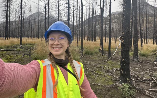
Natalie Krizan
Supervisor(s): Chasmer, Laura
Thesis: Burn severity and the relationship to site-level fire history of the Chetamon Fire in Jasper National Park, Alberta, Canada.
Bio: Fire regimes in montane regions have been significantly altered by anthropogenic fire suppression. Using pre- and post-fire airborne lidar data to quantify fuel loss, combined with field work and existing site-level fire history data, Natalie is assessing whether the 2022 Chetamon Fire in Jasper National Park, Alberta, indicates a shift to higher severity fires.
Ria Nicholson
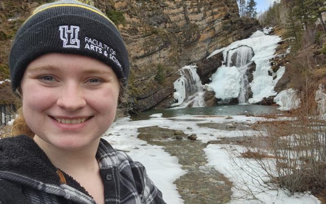
Jessica Van Gaalen
Supervisor(s): Hopkinson, Christopher
Thesis: Quantifying Vegetation Regeneration and Snowpack Distribution Feedback Relationships Using Lidar in a Mountain Headwater Post-Wildland Fire Environment
Bio: The Kenow Wildfire in 2017 severely burned much of Waterton Lakes National Park, removing much of the vegetation which impacts hydrological pathways and snowpack processes. I am interested in determining the rates of post-fire vegetation recovery and modelling the relationship between post-fire vegetation and snowpack distribution. To develop the feedback model, I am using a combination of summer and winter field measurements, remotely piloted aircraft system (RPAS) data, and airborne lidar data. Additionally, I am modelling both vegetation and snowpack against terrain drivers to determine the multi-faceted relationships between vegetation, snow, and terrain. These models will inform a sophisticated runoff generation model to forecast changes in runoff in recovering post-fire environments, which is critical for water resource management decisions.
Amanda Bakalarczyk
Supervisor(s): Chasmer, Laura
Thesis: Quantifying Burn Depth and Belowground Carbon Loss in Managed Peatlands: Insights for Future Climate Scenarios
Bio: Amanda’s research focuses on quantifying burn depth and belowground carbon loss in managed peatlands—drained and harvested peatlands that serve as analogues for undisturbed peatlands under future climate scenarios. By combining field measurements with multi-source remote sensing data, Amanda is assessing the spatial patterns and environmental factors that influence how fire penetrates the peat profile and drives carbon emissions. Her work aims to shed light on how peatland ecosystems may respond to the warming and drying conditions anticipated with climate change.

Saeid Parsian
Supervisor(s): Chasmer, Laura & Hopkinson, Christopher
Thesis: Quantifying vegetation structure and fire fuels in montane pine forests impacted by mountain pine beetle using remotely piloted aircraft system multi-spectral, photogrammetric and lidar technologies
Bio: Jasper National Park is severely affected by mountain pine beetle outbreaks due to climate change and decades of fire suppression. Saeid utilizes field data with remote sensing technologies to quantify canopy and understory fire fuels. Additionally, Saeid is exploring how fire fuel distribution changes across different mountain pine beetle attack phases.
