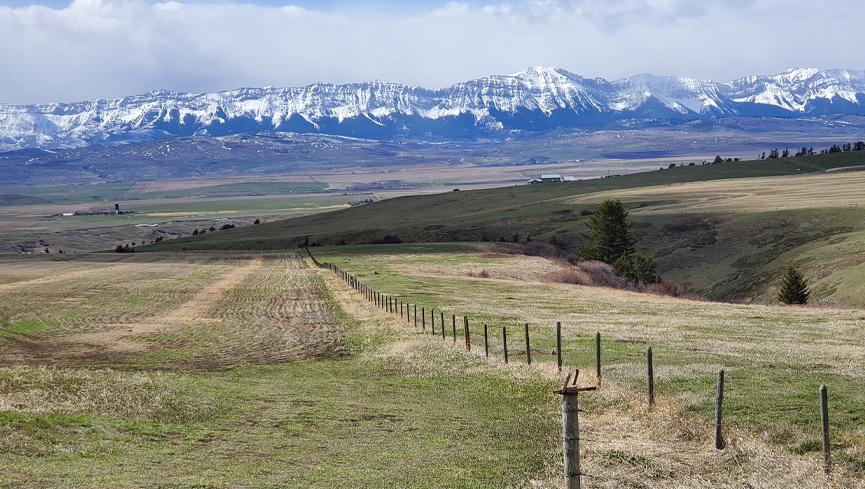
With the threat of drought hanging over the province, the Government of Alberta enlisted a University of Lethbridge research team to assist with accurately measuring the snowpack in southern Alberta and the variations from one watershed to another — measurements that are more important than ever as the province tries to manage its water resources.
“Given the potential for drought, following a couple of years of already dry conditions and low snowpack, the Government of Alberta approached us at the beginning of January to see if we could help them with the snow monitoring,” says Dr. Chris Hopkinson, professor in the University of Lethbridge’s Department of Geography and Environment and director of the new TECTERRA-funded Institute for Geospatial Inquiry, Instruction and Innovation (i4Geo).
For seven months of the year, scientists with Alberta Environment and Protected Areas (AEPA) go up into the mountains in the backcountry to measure snow depth and density, information critical to managing water and reservoir levels throughout Alberta.
While it’s practically impossible for workers to physically measure snow depth and density and take samples across whole watersheds, combining the measurements and samples from selected areas with data from airborne LiDAR (Light Detection and Ranging), a remote sensing system that can map snow depth, can provide more accuracy.

For the Bow and Oldman watersheds in southern Alberta, Hopkinson and his team began planning two airborne missions, one in March and one in April. For the March mission, Teledyne Optech provided a state-of-the-art Galaxy LiDAR system and an operator, while Calgary-based Aries Aviation provided the aircraft. The April mission utilized ULethbridge’s unique Titan Multispectral LiDAR system, with some operational support from Airborne Imaging, also out of Calgary. The LiDAR scans sampled the Rockies from as far south as the U.S. border and north to Saskatchewan Crossing.

“The data is confirming that the snowpack in the mountains is not very abundant,” says Hopkinson. “But it’s important to bear in mind that we don’t really have anything to compare it to because we’ve never done this before. All we can do is take our estimates of snowpack water equivalents in the mountains and relate it to similar data structures such as precipitation gauges, snow pillows, field data or runoff records.”
While the LiDAR results are comparable to traditional measurements, LiDAR can provide more spatially precise data.
“It’s telling us, for example, that the Oldman is showing a lot less snow water in the mountains than the Bow,” says Hopkinson. “But we’d probably expect that anyway just because the Bow is higher in elevation, slightly farther north and has wider mountains. But now we’re able to quantify these things in a way we previously couldn’t.”
Hopkinson’s team includes Dr. Celeste Barnes, a post-doctoral fellow who provided project management and data analysis, Jessica Van Gaalen, a master’s student who prepared the data for the cloud computing environment to train an online model and Italo Rodrigues, a PhD candidate who prepared the various layers of data to build an online model of the snow cover. Maxim Okhrimenko, a PhD student and LiDAR lab manager, helped plan the surveys and flying. Farnoosh Aslami, a research associate, assisted with the project by working up data layers as needed. Also working on the project are Dr. James Craig at the University of Waterloo and Dr. Ryan MacDonald (BSc ’06, MSc ’09, PhD ’14), CEO of MacHydro Consultants.
“The idea is that we’ll use these data to input into a hydrological modelling scheme to do the forecasting,” says Hopkinson. “It’s innovative because you don’t normally have a spatially continuous map of snowpack that you can then put into a hydrological model. Hopefully, in the next month or two, we’ll get some scenarios from these data that will parallel or supplement the kind of forecasting work the province is doing.”
In the future, having more precise snowpack measurements will help guide water management policies and practices.